
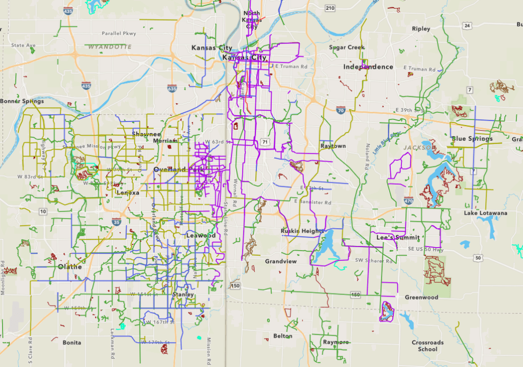
Have you ever wished for a regional map that shows the location, type, and purpose of trails in the KC metro area. Did you know that this trail map exists?
ARCGIS is a tool used for surveying and land tracking. Kansas City keeps a record of all trails in the metro area along with their type and intended purpose. If you are in the KC metro and looking for a place to ride this can be a great resource.
Do you see your favorite trail on this map? Did they miss something? Leave a comment with your favorite trail!
Thanks for Reading!
